
Building inspection system
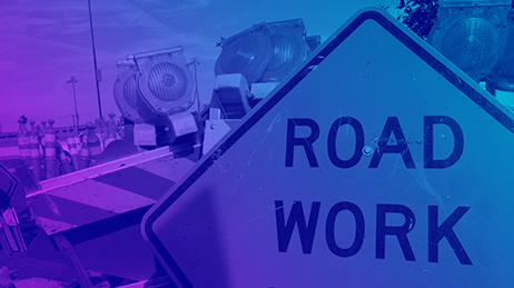
A solution used to collect building condition and occupancy status in the field after natural disasters to create a real-time map of damaged buildings for decision-makers and first responders
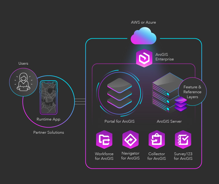
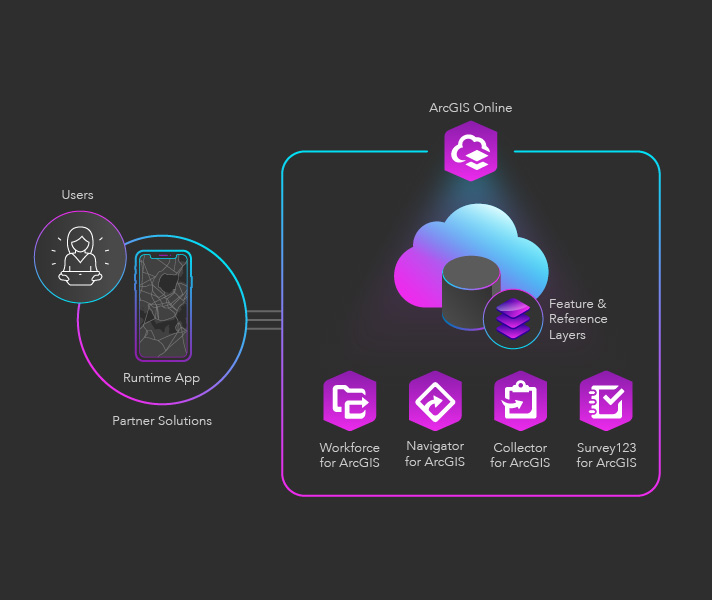
Field mobility applications make it easy to capture accurate data about assets in the field and return that data to the office. Fieldworkers use web maps on mobile devices to perform inspections and capture assets and observations.
In this solution, map-driven forms enable fieldworkers of all experience levels to capture countless observations for any asset. These observations can include photos, videos, and audio recordings. The solution works even when devices are disconnected from the Internet, seamlessly integrating data into ArcGIS once a device reconnects.
A field mobility solution also provides a real-time view of assets—including the status and condition of each asset—as data is collected. This provides a valuable decision-making tool for analysts and key stakeholders. Partner applications can also leverage Esri's suite of field operations applications, like Workforce for ArcGIS, Navigator for ArcGIS, and Survey123 for ArcGIS, by directly linking to them.


Let us know how to improve our starter kits.