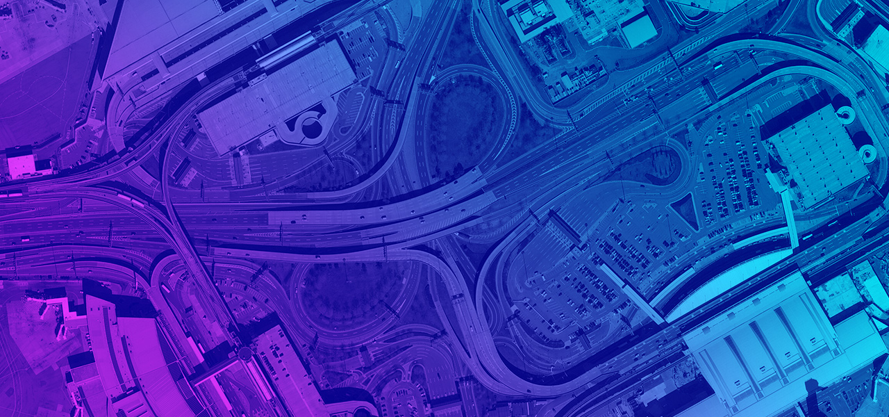
Skip to Content

Imagery Solutions

Starter Kit

Solution benefits

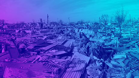
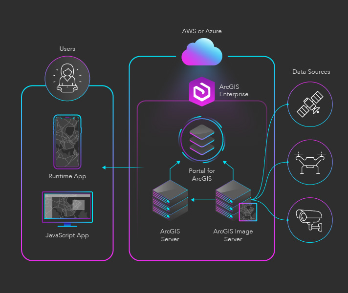
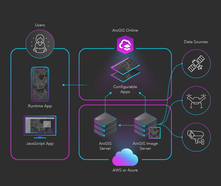
Imagery content solutions provide and analyze vast quantities of imagery data so users can spot changes, discover patterns, and learn new insights. These solutions can collect, process, analyze, manage, and share imagery, delivering the context needed for informed decision-making.

Imagery solutions can fulfill different imagery-related needs. For example, they can provide access to needed content like high-resolution aerial imagery. Imagery solutions can also process raw imagery to deliver derivative products. Solutions can also analyze imagery to extract features, find suitable locations, or identify changes over time. Lastly, they can help users manage and share imagery, so content remains up-to-date and available to the people who need it.

Capabilities utilized

2D/3D maps
Data hosting
Spatial analysis
Content hosting
Image hosting and raster analytics

Use cases

Previous
Next

Conceptual architecture

Description of components

  • ArcGIS Enterprise: A complete GIS that runs behind your firewall in your enterprise or on cloud infrastructure like AWS or Azure
  • ArcGIS Server: A GIS server that makes geographic information available to people in your organization (or, optionally, anyone with an Internet connection)
  • ArcGIS Image Server: Tools and resources to host, process, analyze, and explore massive collections of imagery, raster data, and remotely sensed data
  • Partner Solutions: Custom web, mobile, and desktop apps that enable advanced data visualizations, built using ArcGIS development APIs and SDKs

Description of components

  • ArcGIS Server: A GIS server that makes geographic information available to people in your organization (or, optionally, anyone with an Internet connection)
  • ArcGIS Image Server: Tools and resources to host, process, analyze, and explore massive collections of imagery, raster data, and remotely sensed data
  • ArcGIS Online: A complete cloud-based mapping and analysis platform
  • Partner Applications: Custom web, mobile, and desktop apps that enable advanced data visualizations, built using ArcGIS development APIs and SDKs

Was this starter kit useful?

Let us know how to improve our starter kits.

Send feedback