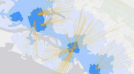
Location Value Chain
Martin Paz
Learn how to make sense of your data using the power of spatial analysis.

Album
When informative spatial analyses meet accessible explanations, magic happens.
Location Value Chain
Martin Paz

Another New Design for an Old Map
Kenneth Field
Learn the Basics of Arcade
Lisa Berry

Top Seven Tips for Policy Story Maps
Jennifer Bell

Pitching Washington, DC, as the Next Amazon HQ2

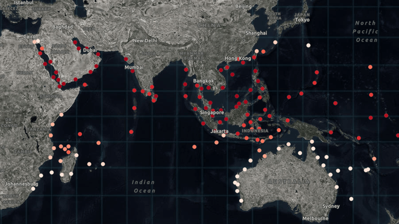
Tracking Ireland's Immigration Patterns

Eye of the Hurricanes
John Nelson
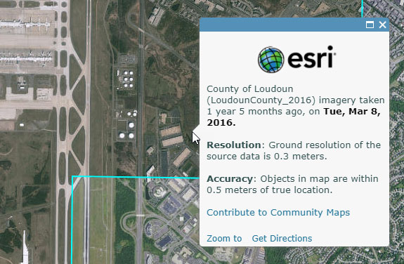
Learning More about the World Imagery Basemap
Bern Szukalski
Submit your story and give back to your community! Win $5,000 for charity and the title of ArcGIS StoryMapper of the Year.
Get storytelling tips, new ArcGIS StoryMaps announcements, and helpful resources directly from our team.
Wondering about the nuts and bolts of moving over to our next-generation product? We've got you covered.