
Managing Protected Areas
ArcGIS Solutions for Protected Areas
An array of field apps and online resources empowers conservationists and protected area managers to more effectively protect natural habitats.

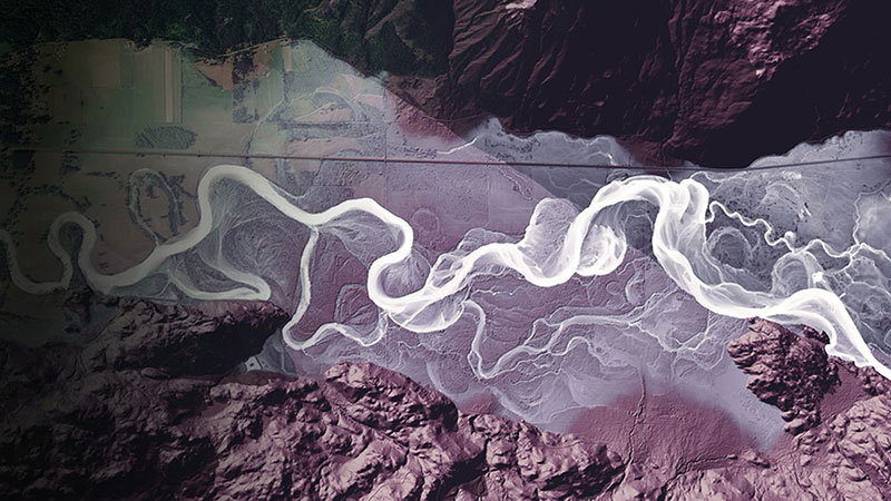
Album
Let yourself be transported to some incredible places in our natural world.
Managing Protected Areas
ArcGIS Solutions for Protected Areas

The Half-Earth Project
Half-Earth

Engage-Listen-Understand-ACT
Multiple Authors
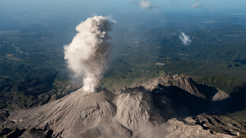
In the Shadow of a Volcano
Ross Donihue

Building on the Edge
Kate Donatelli

The Surprising State of Africa's Giraffes
Hannah Wilber
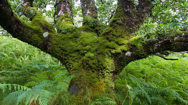
Celebrating Great Trees
Allen Carroll
Share Your EarthPlace
Esri's StoryMaps team
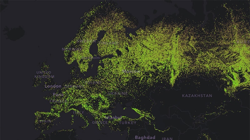
A World of Forests: Atlas
Esri's StoryMaps team
The Bare Earth
Washington Geological Survey
GRID-Arendal Collection
GRID-Arendal
Meet the National Geographic Style Basemap
Andy Skinner
Submit your story and give back to your community! Win $5,000 for charity and the title of ArcGIS StoryMapper of the Year.
Get storytelling tips, new ArcGIS StoryMaps announcements, and helpful resources directly from our team.
Wondering about the nuts and bolts of moving over to our next-generation product? We've got you covered.